

Our Partners
A network of trusted airfields committed to shared standards, safety, and quality services for pilots.
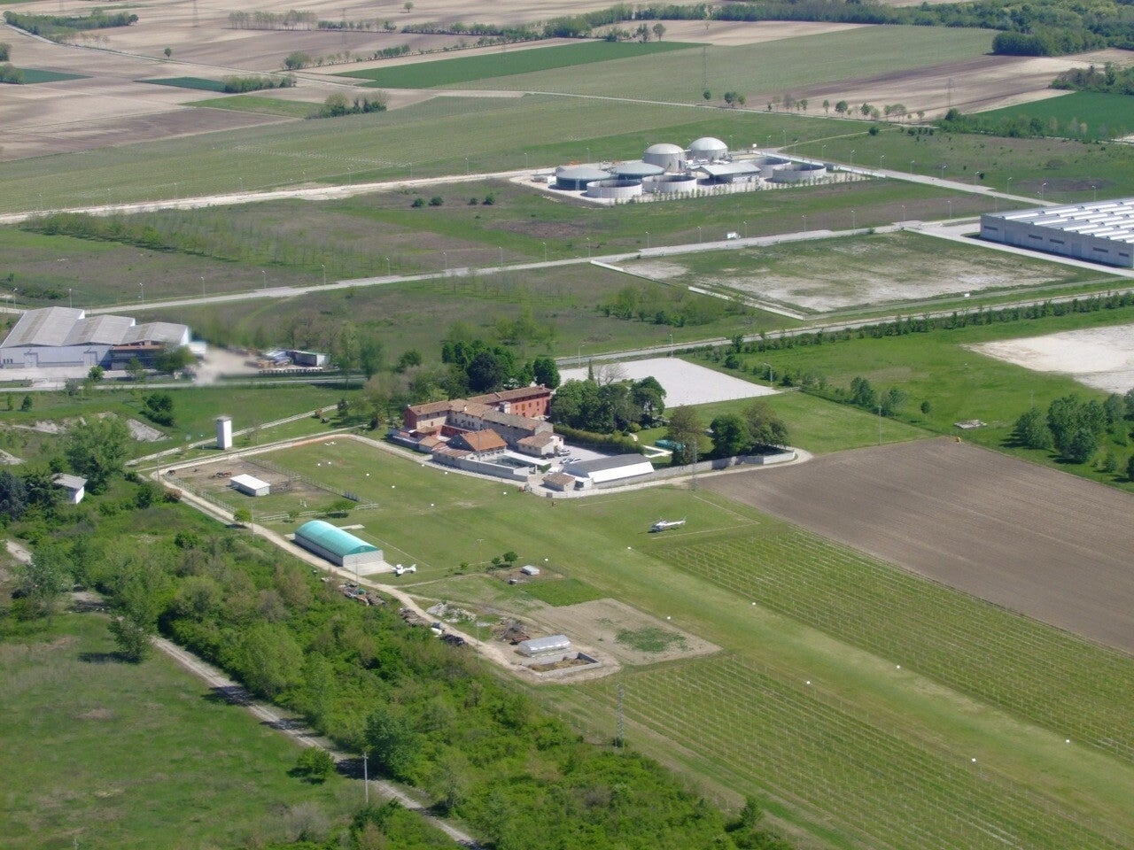
AL CASALE LIPT
Coordinates:
45°59'34'’ N 12°55'84'’ E
Radio frequency
130.00 Mhz
Runway charateristics
500m x 25m (grass)
Runway 09-27
Left-hand traffic pattern
Services
Operational radio
Mogas / Avgas
Parking and hangar area
Restrooms
Pilot briefing area
Ground support staff
Restaurant open daily
Breakfast room
Sleeping accommodations
Attractions and points of interest
Udine, Pordenone, San Daniele del Friuli (the town of prosciutto), Friulian Riviera, Lignano Sabbiadoro, Trieste, Caorle, Rivolto Airport (Frecce Tricolori)
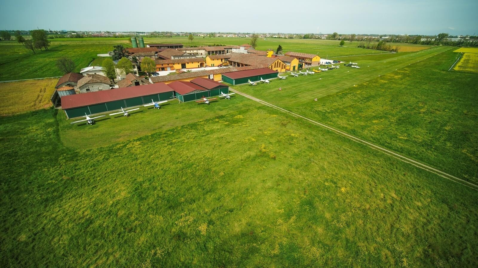
MASSALENGO LO04
Coordinates:
45°16'08'’ N 09°28'80'’ E
Radio frequency
130.050 Mhz
Runway charateristics
700m x 30m (grass)
Runway 18-36
Ledft-hand traffic pattern
Services
Operational radio
Mogas
Parking and hangar area
Restrooms
Pilot briefing area
Wifi / Weather station
Ground support staff
Rotax maintenance
Car, motorcycle, and e-bike rental
Sleeping accommodations
Attractions and points of interest
Duomo, Basilica of San Bassiano, Adda Sud Regional Park, Adda Morta Boschi del Bel Giardino Nature Reserve, Paradiso Fish Park, 20 minutes from MilanUdine, Pordenone, San Daniele del Friuli (the town of prosciutto), Friulian Riviera, Lignano Sabbiadoro, Trieste, Caorle, Rivolto Airport (Frecce Tricolori)
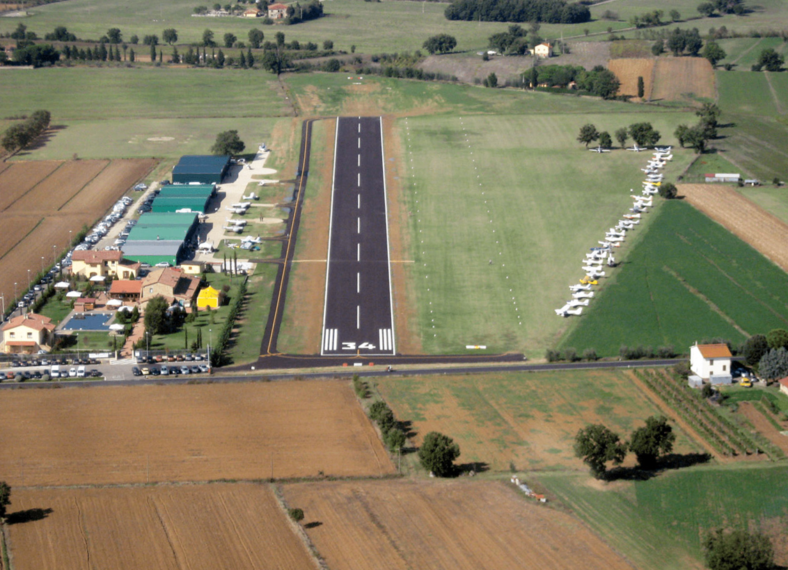
SERRISTORI LIQQ
Coordinates:
43°20'22'’ N 11°51'27'’ E
Radio frequency
130.00 Mhz
Runway charateristics
500m x 20m (asphalt)
600 x 25m (grass)
Runway 16-34
Left-hand traffic pattern
Services
Operational radio
Mogas / Avgas
Parking and hangar area
Restrooms
Pilot briefing area
Wifi / Weather station
Ground support staff
Maintenance
Car, motorcycle, and e-bike rental
Sleeping accommodations
Attractions and points of interest
Valdichiana, Castiglion Fiorentino, Cortona, Arezzo, Montepulciano, Lake Trasimeno, centrally located between Florence, Siena, and Perugia
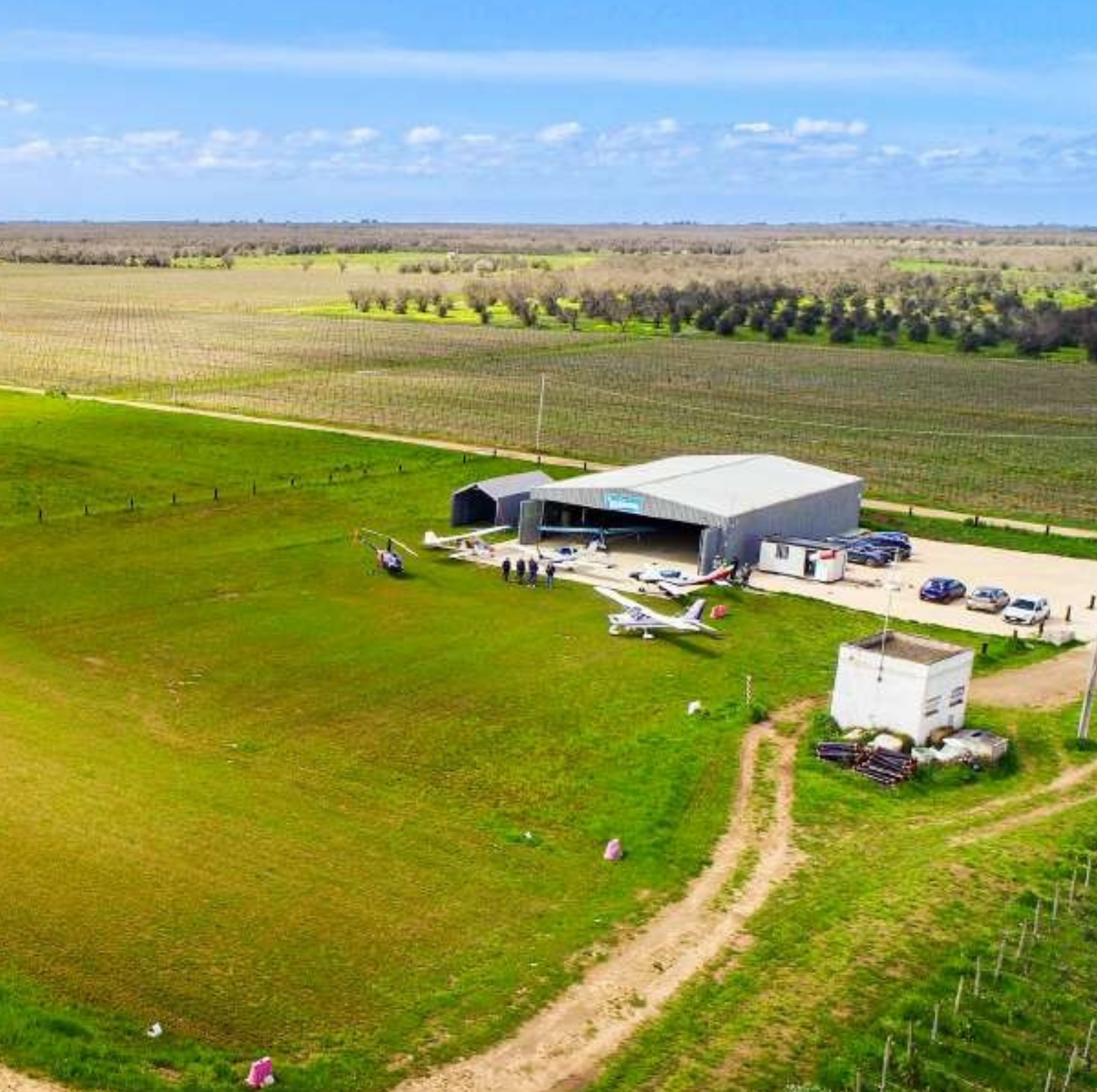
BELLAMARINA BR10
Coordinates:
40°31'29'’ N 17°46'38'’ E
Radio frequency
130.000 Mhz
Runway charateristics
630m x 25m (grass)
Runway 17-35
Left-hand traffic pattern
Services
Operational radio
Mogas / Avgas
Parking and hangar area
Restrooms
Pilot briefing area
Wifi / Weather station
Ground support staff
Car, motorcycle, and e-bike rental
Sleeping accommodations
Attractions and points of interest
Itria Valley, Trulli of Alberobello, Polignano a Mare, Ostuni, Salento beaches, Castellana Caves
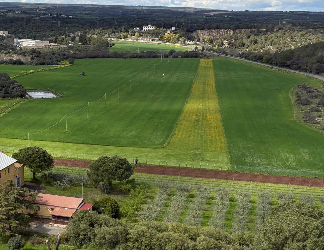
NATILE TA05
Coordinates:
40°35'26'’ N 16°48'08'’ E
Radio frequency
130.000 Mhz
Runway charateristics
550m x 25m (dirt)
Runway 15-33
Left-hand traffic pattern
Services
Operational radio
Mogas
Parking area
Restrooms
Pilot briefing area
Wifi / Weather station
Ground support staff
Maintenance
Car rental
Sleeping accommodations
Attractions and points of interest
Sassi of Matera, Gravina of Laterza and Ginosa, Temple of Hera in Metaponto, Itria Valley, Trulli of Alberobello
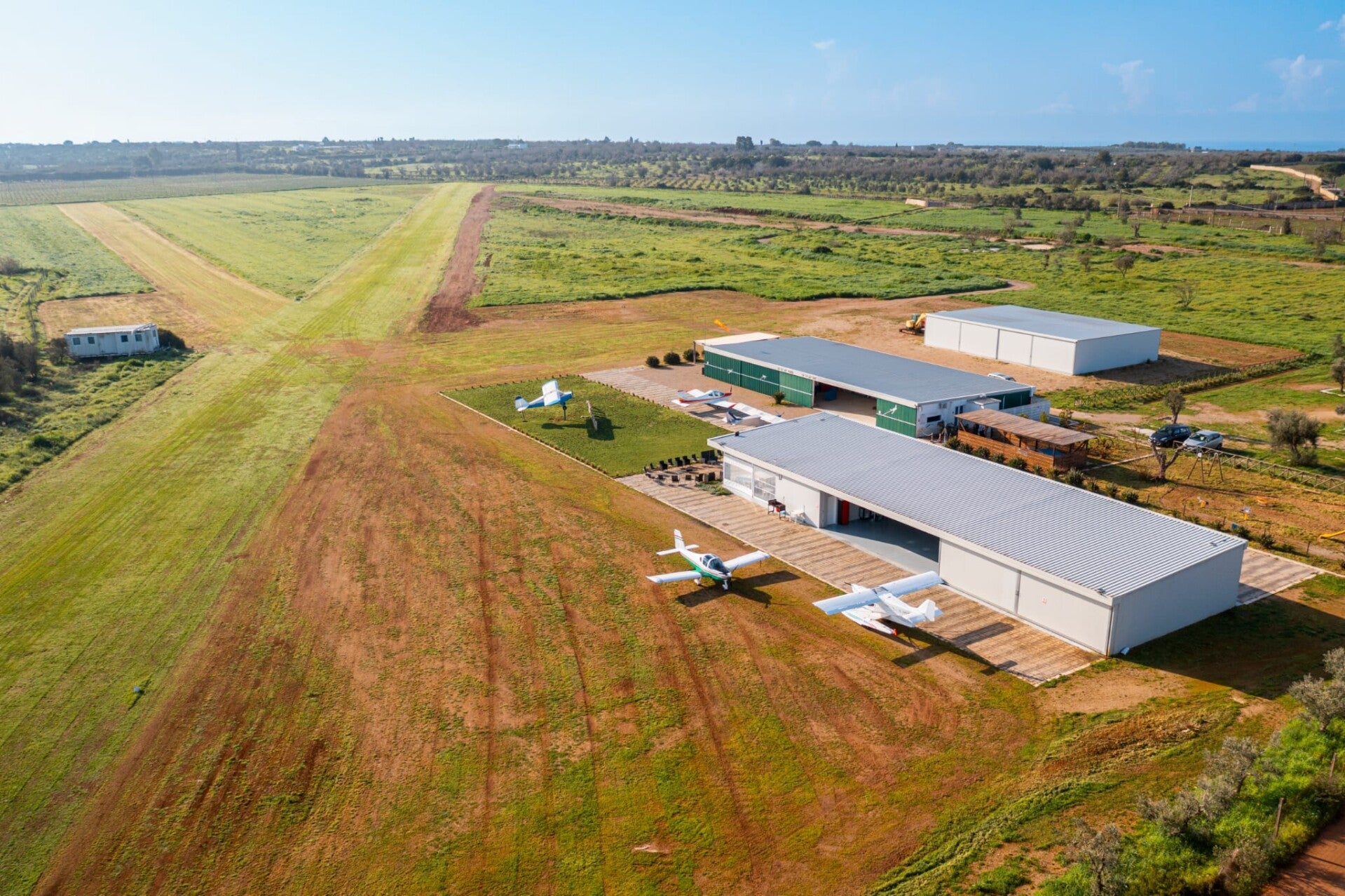
FA.CO.FLY LE05
Coordinates:
39°53'48'’ N 18°11'30'’ E
Radio frequency
130.000 Mhz
Runway charateristics
630m x 20m (grass)
Runway 16-34
Left-hand pattern 16 Right 34
Services
Operational radio
Mogas
Parking and hangar area
Restrooms
Pilot briefing area
Car, motorcycle, and e-bike rental
Attractions and points of interest
Torre San Giovanni, Maldives of Salento, Santa Maria di Leuca, Gallipoli, Otranto, Lecce
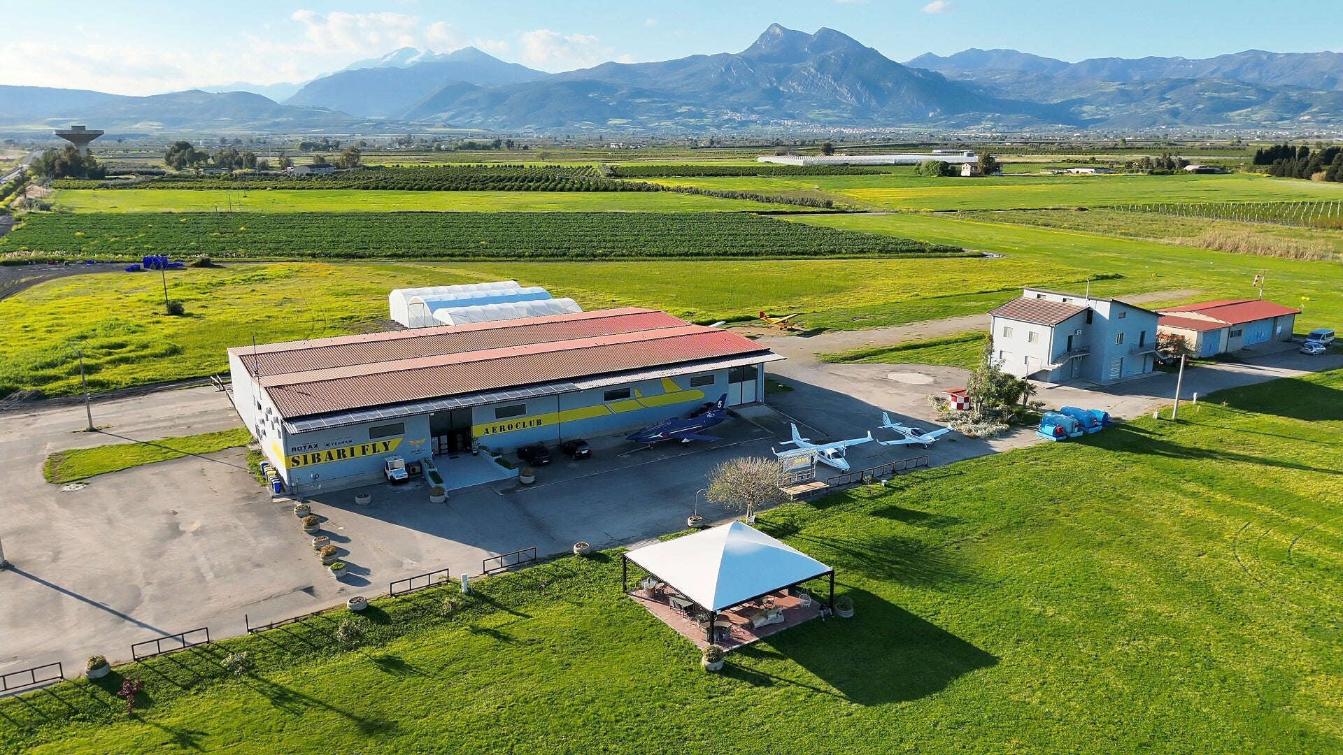
SIBARI FLY LINV
Coordinates:
39°45'25'’ N 16°26'18'’ E
Radio frequency
130.000 Mhz
Runway charateristics
850m x 25m (grass)
Runway 12-30
Left-hand traffic pattern
Services
Operational radio
Mogas / Avgas / Jet A1
Parking and hangar area
Restrooms
Pilot briefing area
Wifi / Weather station
Ground support staff
Rotax and Tecnam maintenance
Car, motorcycle, and e-bike rental
Sleeping accommodations
Attractions and points of interest
Sibari Archaeological Area, Archaeological Museum, Ionian beaches, Pollino National Park, Sila Massif, Sant’Angelo Caves in Cassano Allo Ionio, Ducal Castle of Corigliano
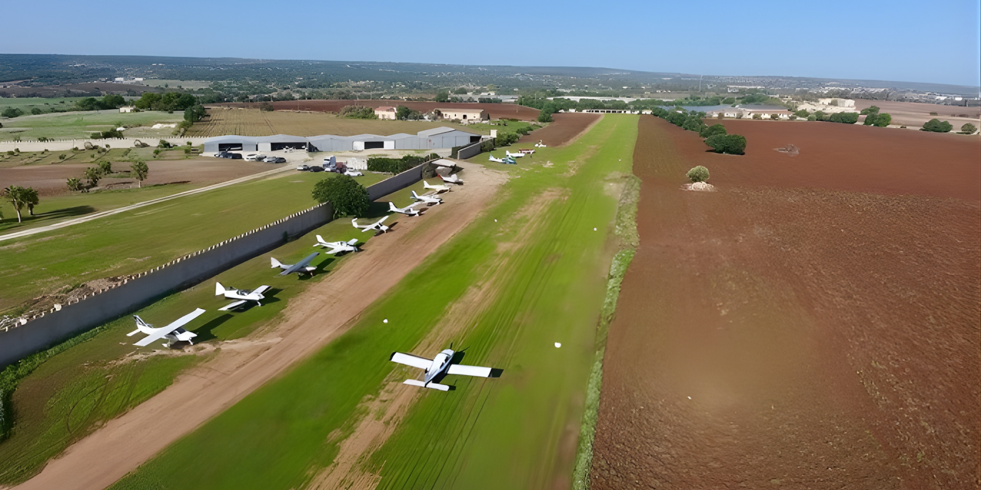
MODICA LICV
Coordinates:
36°43'22'’ N 14°46'30'’ E
Radio frequency
130.000 Mhz
Runway charateristics
720m x 18m (grass)
Runway 04-22
Ledt-hand traffic pattern
Services
Operational radio
Mogas / Avgas
Parking area
Restrooms
Pilot briefing area
Wifi / Weather station
Ground support staff
Rotax maintenance
Car, motorcycle, and bicycle rental
Sleeping accommodations
Attractions and points of interest
Sampieri Beach, Vendicari Nature Reserve, locations of Inspector Montalbano in Val di Noto, Modica chocolate, Ragusano PDO cheese, and Val di Noto wines. Southernmost airfield in Europe